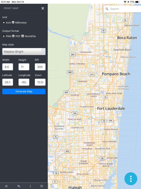
Print Map is used for preparing offline high quality georeferenced PNG maps and PDF from custom vector tile basemaps and satellite imagery (from OpenMapTiles and MapBox) with custom configurable stylesheets.
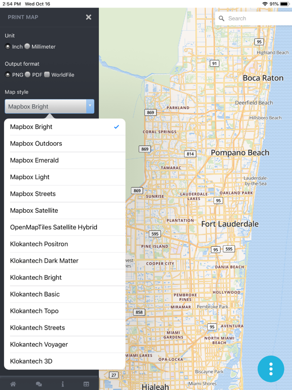
Stylesheets include options for Topo and 3D Buildings
Hillshades and Contour Lines
Easily Export High Quality Maps from a mobile app
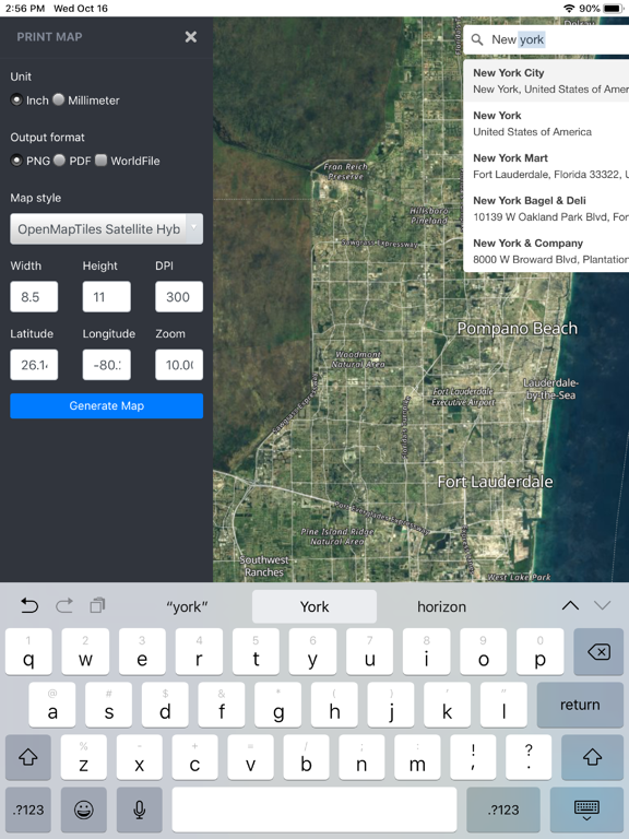
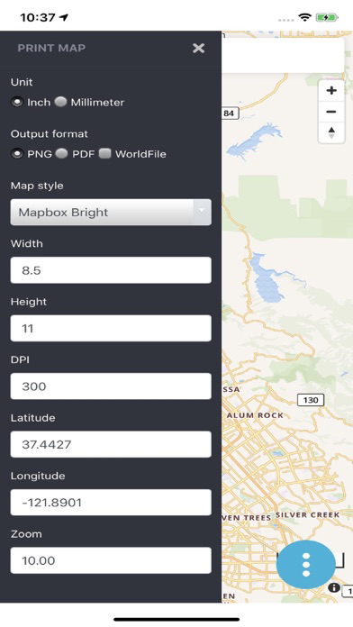
Set initial view by searching or entering Lat Long
Choose Output format (PNG or PDF)
Select a Map Style based on either MapBox or OpenMapTiles/OSM Vector Tile Street Map Basemaps and Satellite Imagery
Set your page size and DPI - Dots Per Inch
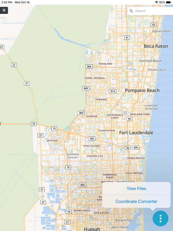
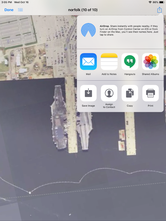
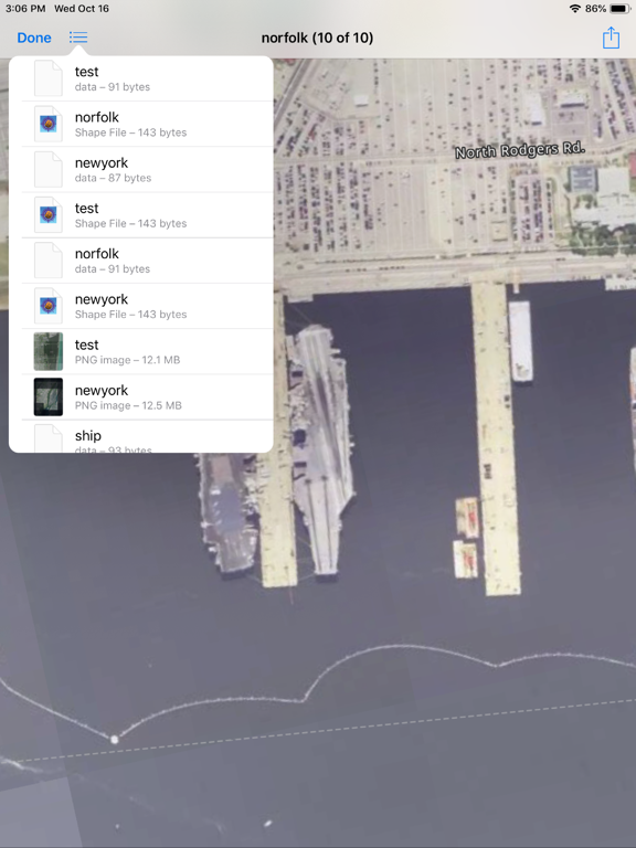
The PNG Images can optionally be exported GeoReferenced by including
PGW -Worldfile and PRJ-Projection sidecar files that are recognizable by all GIS Mapping Software packages and many mobile apps. The PNG images can also be inserted into reports and documents.
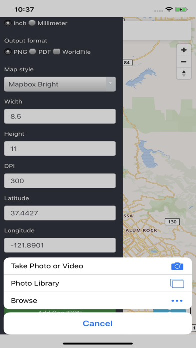
We will add additional capabilities in future releases like adding your own data, draw/digitize
Grids and Graticule Lines, North Arrow,etc.
http://techmaven.net/print-map
we have a support site http://support.techmaven.net
Another quality innovative app by Tech Maven Geospatial https://techmaven.net