ArcGIS Earth
Free
2.0for iPhone, iPad and more
Age Rating
ArcGIS Earth Screenshots
About ArcGIS Earth
ArcGIS Earth is designed for everyone and provides user-friendly 3D experiences.
Data support
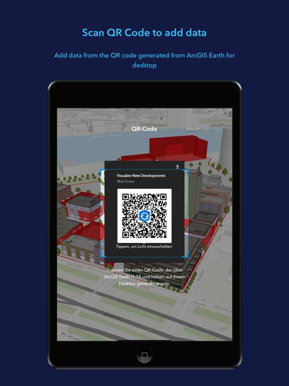
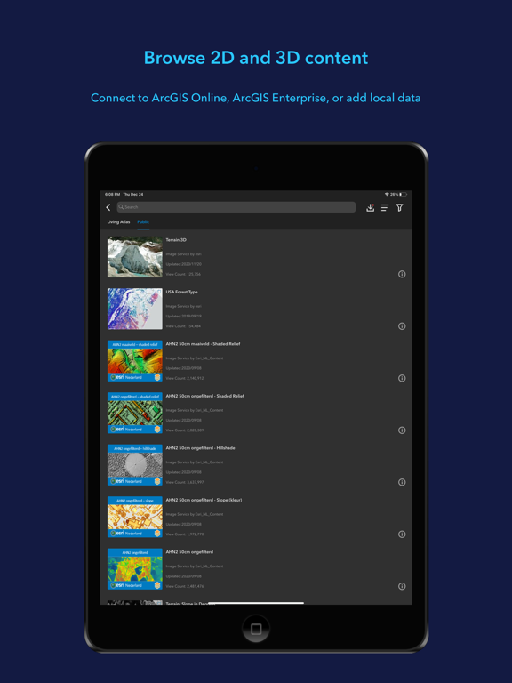
ArcGIS Earth allows you to use a variety of items from ArcGIS Online, ArcGIS Enterprise, local data, and web services:
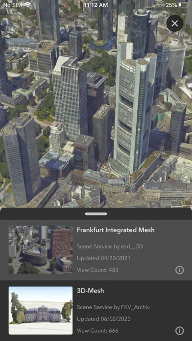
• Browse web scenes, map services, image services, scene services, and feature services.
• Browse local files including mobile scene packages (MSPK), KML, KMZ, tile packages, and scene layer packages (SLPK).
• Support has been added for Living Atlas of the World.
Key features
• Connect to ArcGIS Online or ArcGIS Enterprise.
• Tap to identify features.
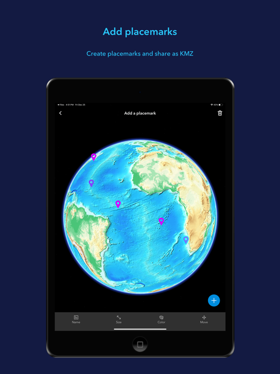
• Support has been added for collecting, editing, and sharing placemarks.
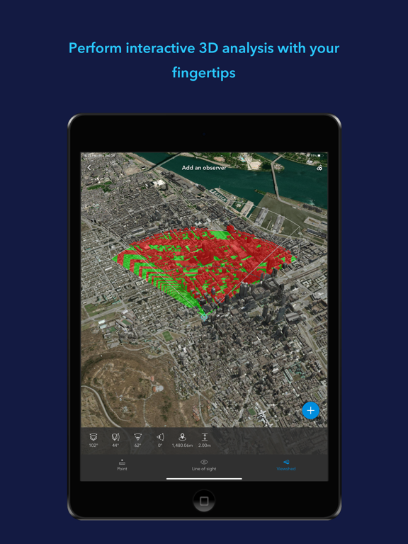
• Interactive analysis tools include Measure, Line of Sight, and Viewshed.
• Create and share tours with geotagged photos.
• Search for places and switch locators.
• Start-up tips and guidance for hand gestures are included.
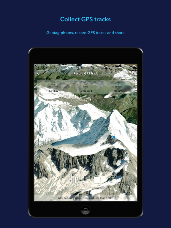
• Record and preview GPS tracks, and share with your organization.
Show More
What's New in the Latest Version 2.0
Last updated on Dec 14, 2023
Old Versions
• Support for viewing underground data and setting ground transparency
• Support for drawing points, lines, and polygons, and sharing as a .kmz file. Drawings will be saved and managed in the Table of Contents Drawings tab
• Enhanced the tour experience. You can add placemarks (points) and geotagged pictures to the tour, customize views, and add text to waypoints
• Improved the geosearch experience and supported viewing and copying the result coordinates
Show More
Version History
2.0
Dec 14, 2023
• Support for viewing underground data and setting ground transparency
• Support for drawing points, lines, and polygons, and sharing as a .kmz file. Drawings will be saved and managed in the Table of Contents Drawings tab
• Enhanced the tour experience. You can add placemarks (points) and geotagged pictures to the tour, customize views, and add text to waypoints
• Improved the geosearch experience and supported viewing and copying the result coordinates
• Support for drawing points, lines, and polygons, and sharing as a .kmz file. Drawings will be saved and managed in the Table of Contents Drawings tab
• Enhanced the tour experience. You can add placemarks (points) and geotagged pictures to the tour, customize views, and add text to waypoints
• Improved the geosearch experience and supported viewing and copying the result coordinates
ArcGIS Earth FAQ
Click here to learn how to download ArcGIS Earth in restricted country or region.
Check the following list to see the minimum requirements of ArcGIS Earth.
iPhone
Requires iOS 15.0 or later.
iPad
Requires iPadOS 15.0 or later.
iPod touch
Requires iOS 15.0 or later.
ArcGIS Earth supports English, French, German, Japanese, Polish, Russian, Spanish

